

Introduction
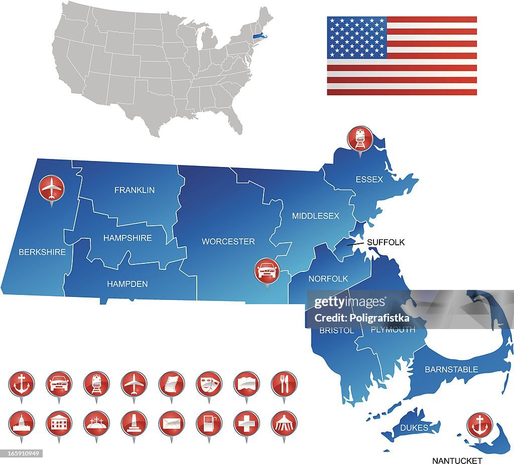
A map of Massachusetts is much more than a collection of roads and town names. It tells the story of one of America’s oldest and most influential states, revealing everything from historic colonial cities to scenic coastlines, mountain ranges, universities, forests, and charming New England villages. Whether you’re planning a road trip, studying geography, relocating, or simply exploring the state from home, understanding the map provides valuable insight into how Massachusetts is organized and what makes each region unique.
Massachusetts occupies a relatively small area in the northeastern United States, yet it offers remarkable geographic diversity. Bustling metropolitan areas exist alongside peaceful coastal towns, rolling farmland, and forest-covered mountains. Every county, highway, and region contributes to the state’s identity. Learning how to read and interpret a Massachusetts map helps travelers, students, business professionals, and outdoor enthusiasts make better decisions while discovering countless destinations worth exploring.
Understanding the Geography of the Massachusetts Map

A map of Massachusetts immediately highlights the state’s unique shape. It stretches from the Atlantic Ocean in the east to the Berkshire Mountains in the west, covering approximately 10,565 square miles. Despite its modest size, Massachusetts contains an impressive variety of landscapes. Coastal plains transition into rolling hills before giving way to higher elevations in western Massachusetts. This variation explains why different regions experience slightly different climates and recreational opportunities.
Massachusetts shares borders with New Hampshire to the north, Vermont to the northwest, New York to the west, Connecticut and Rhode Island to the south, and the Atlantic Ocean to the east. These neighboring states have influenced transportation, commerce, and culture for centuries. Major rivers such as the Connecticut River, Merrimack River, and Charles River are prominent features on many maps, serving as natural landmarks and supporting agriculture, industry, and recreation.
Physical Regions
The state is commonly divided into several geographic regions:
- Greater Boston
- North Shore
- South Shore
- Cape Cod
- The Islands
- Central Massachusetts
- Pioneer Valley
- Berkshires
Each region has its own terrain, attractions, and historical significance. Understanding these divisions makes the map much easier to interpret.
Elevation and Natural Features
Although Massachusetts is not known for towering mountains, western portions feature impressive peaks, including Mount Greylock, the state’s highest point. Eastern Massachusetts is flatter, characterized by sandy beaches, harbors, marshes, and coastal estuaries. State parks, forests, and wildlife refuges occupy significant portions of central and western Massachusetts, making them easily identifiable on detailed topographic maps.
Major Cities and Regions Found on a Map of Massachusetts
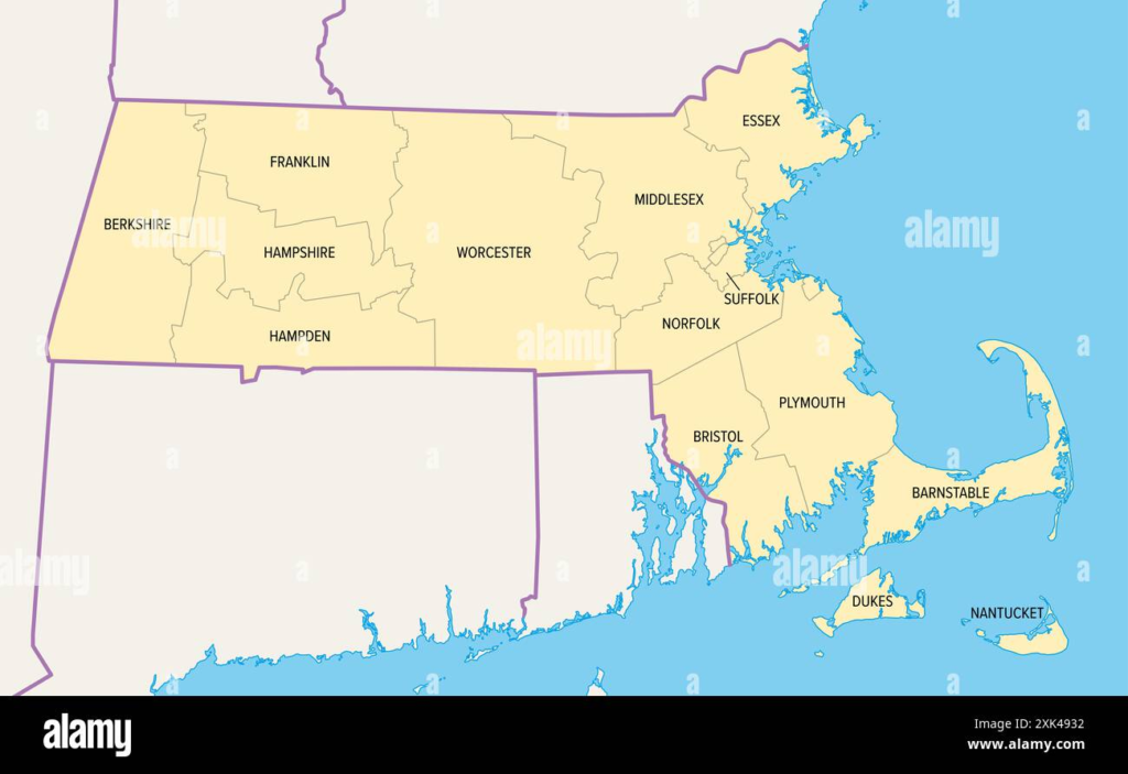
Boston dominates virtually every Massachusetts map. As the capital and largest city, it serves as the state’s economic, educational, healthcare, and cultural center. Located on the Atlantic coast, Boston connects surrounding communities through highways, commuter rail lines, and public transportation. Visitors often use Boston as their starting point before exploring other regions.
Outside Boston, many cities contribute to the state’s diversity. Worcester lies near the geographic center of Massachusetts and serves as an important educational and manufacturing hub. Springfield anchors western Massachusetts and is known for its rich history and strategic location along the Connecticut River. Lowell, Cambridge, New Bedford, Brockton, Quincy, Pittsfield, and Fall River each appear prominently on state maps due to their population and historical importance.
Eastern Massachusetts
Eastern Massachusetts contains the highest population density. Here you’ll find major universities, financial districts, historic neighborhoods, coastal communities, and famous tourist attractions. Highways intersect frequently, making navigation relatively convenient despite heavy traffic.
Cape Cod extends into the Atlantic like an arm, becoming one of the state’s most recognizable geographic features. Nearby Martha’s Vineyard and Nantucket appear as islands southeast of the mainland and are accessible primarily by ferry or air travel.
Western Massachusetts
Western Massachusetts presents a very different landscape. Smaller towns, mountain scenery, forests, rivers, and farmland dominate the region. Travelers often appreciate this area for hiking, skiing, scenic drives, and cultural attractions. Maps clearly show fewer urban centers but a greater concentration of parks and protected natural areas.
Roads, Highways, and Transportation Across Massachusetts

Transportation networks form one of the most important elements of any Massachusetts map. Interstate highways connect every major region, allowing efficient travel throughout the state and neighboring New England areas. Interstate 90, also known as the Massachusetts Turnpike, runs east to west and serves as the state’s primary transportation corridor.
Interstate 95 circles around Greater Boston while Interstate 93 connects Boston with New Hampshire. Interstate 91 runs north and south through western Massachusetts, linking Springfield with Vermont and Connecticut. Interstate 495 forms an outer loop around metropolitan Boston, helping reduce congestion on inner routes.
Public Transportation
Massachusetts is known for having one of the country’s strongest public transportation systems. The Massachusetts Bay Transportation Authority (MBTA) operates subway lines, buses, commuter rail services, and ferries throughout Greater Boston and nearby communities. Transit maps are especially useful for visitors exploring Boston without a car.
Outside metropolitan areas, regional transit authorities provide bus services connecting towns and cities. Amtrak rail routes pass through major cities including Boston, Worcester, Springfield, and Pittsfield, making long-distance travel convenient.
Airports and Ports
Logan International Airport serves as the state’s largest airport and appears prominently on transportation maps. Smaller regional airports support domestic travel across western and southeastern Massachusetts.
Several coastal ports remain important for fishing, shipping, and tourism. Cities such as New Bedford and Gloucester continue long maritime traditions reflected on coastal maps.
Landmarks, Attractions, and Natural Destinations on the Map

One reason many people search for a map of Massachusetts is to locate its famous attractions. Historical sites appear throughout the state, reflecting Massachusetts’ central role in American history. Boston’s Freedom Trail, Plymouth, Lexington, and Concord represent significant destinations connected to the American Revolution and early colonial settlement
Cape Cod National Seashore occupies a large section of the outer Cape, preserving miles of beaches, dunes, and natural habitats. Visitors can easily identify nearby lighthouses, nature trails, and scenic overlooks using regional maps.
Outdoor Recreation
Massachusetts offers abundant opportunities for outdoor enthusiasts. The Berkshires feature hiking trails, ski resorts, waterfalls, and scenic mountain drives. Mount Greylock State Reservation attracts visitors seeking panoramic views from the state’s highest summit.
Central Massachusetts contains reservoirs, lakes, forests, and conservation lands ideal for camping, fishing, kayaking, and wildlife observation. Seasonal maps often highlight foliage routes during autumn, when vibrant colors transform the landscape.
Historic and Cultural Attractions
The state also boasts world-renowned museums, universities, theaters, and architectural landmarks. Cambridge, home to prestigious academic institutions, attracts students and tourists alike. Salem draws visitors interested in colonial history and the famous witch trials, while New Bedford showcases the state’s whaling heritage.
Maps often identify visitor centers, historic districts, national parks, and scenic byways, helping travelers create efficient itineraries.
How to Use a Map of Massachusetts for Travel, Education, and Everyday Planning
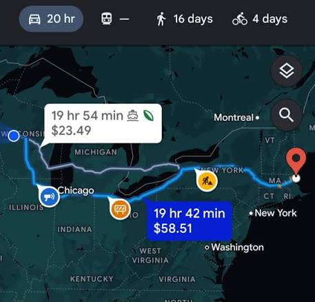
Understanding how to use a Massachusetts map extends beyond simple navigation. Printed maps remain valuable for road trips, hiking adventures, and emergency preparedness, especially in locations where mobile service may be unreliable. They provide a broader perspective than digital navigation, making it easier to understand regional relationships and alternate routes.
Digital maps, however, offer interactive features such as live traffic updates, satellite imagery, route optimization, and nearby business information. Combining both printed and digital resources often provides the best overall experience for travelers.
Educational Uses
Students frequently use Massachusetts maps when learning American geography, colonial history, environmental science, and economics. County maps, political maps, physical maps, and climate maps each emphasize different aspects of the state’s development.
Teachers often encourage comparing historical and modern maps to understand urban growth, transportation expansion, shoreline changes, and land use over time.
Planning Trips
When organizing a visit, a detailed map helps determine driving distances, identify lodging areas, locate state parks, and estimate travel times. Travelers can combine nearby attractions into a single itinerary rather than making unnecessary return trips.
For example, someone visiting Boston may also explore Salem, Lexington, Concord, and Plymouth within a few days by carefully studying regional transportation routes. Similarly, travelers heading west might combine Springfield, the Pioneer Valley, and the Berkshires into one scenic journey.
Whether relocating, attending college, planning business travel, or simply exploring New England, becoming familiar with a Massachusetts map makes every journey more efficient and enjoyable.
Conclusion
A map of Massachusetts reveals far more than roads and city names. It provides a comprehensive view of the state’s geography, transportation systems, historic communities, natural landscapes, and cultural treasures. From Boston’s vibrant urban environment to the peaceful mountains of the Berkshires and the sandy shores of Cape Cod, every region offers something distinctive.
Learning to interpret Massachusetts maps allows travelers to plan smarter routes, students to better understand geography, and residents to appreciate the remarkable diversity packed into one of America’s smallest states. Whether using a printed road atlas, an interactive digital map, or a specialized topographic chart, exploring Massachusetts becomes far more rewarding when you understand how the state fits together.
Frequently Asked Questions (FAQs)
1. Where is Massachusetts located?
Massachusetts is located in the northeastern United States in the New England region, bordering New Hampshire, Vermont, New York, Connecticut, Rhode Island, and the Atlantic Ocean.
2. What is the capital of Massachusetts?
Boston is the capital and largest city of Massachusetts.
3. What regions are commonly shown on a Massachusetts map?
Common regions include Greater Boston, Cape Cod, the Berkshires, Central Massachusetts, Pioneer Valley, North Shore, South Shore, and the Islands.
4. Which highway crosses Massachusetts from east to west?
Interstate 90, also known as the Massachusetts Turnpike, is the primary east-west highway.
5. What is the highest point in Massachusetts?
Mount Greylock is the highest point in the state, reaching an elevation of 3,491 feet (1,064 meters).
6. Why is Cape Cod easy to identify on a map?
Cape Cod has a distinctive curved shape extending into the Atlantic Ocean, making it one of the state’s most recognizable geographic features.
7. Are printed maps still useful in Massachusetts?
Yes. Printed maps are valuable for road trips, hiking, emergency planning, and gaining a broader understanding of the state’s geography.
8. Which rivers are most significant in Massachusetts?
Major rivers include the Connecticut River, Charles River, Merrimack River, and Housatonic River.
9. What transportation options are available in Massachusetts?
Travelers can use highways, commuter rail, subway systems, buses, ferries, airports, and Amtrak services throughout the state.
10. What information can be found on a detailed map of Massachusetts?
A detailed map typically includes cities, towns, counties, highways, rivers, mountains, parks, airports, railways, landmarks, and points of interest for navigation and exploration.
